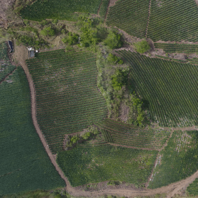
DÜNGER focuses on adapting agricultural practices to the specific conditions of each site, using advanced technologies and detailed data to maximize agricultural efficiency and productivity. The combination of drones and satellites allows farmers to collect detailed data at the plant level that provides valuable information for agricultural decision making.
Multispectral mapping
MULTISPECTRAL
IMAGES
Multispectral images allow monitoring of small changes in visible and infrared radiation reflected by the plant.
DÜNGER provides drone support to detect plants under stress, monitor their growth, plan irrigation frequency and planting and harvesting periods, or perform a multitude of functions in crop management.
Infrared variations indicate changes in vegetation long before they appear in the human visible spectrum, making it possible to react in time to pests or threats that would inevitably result in crop loss.
The digital surface model is another tool for precision agriculture that allows, through the use of drones, the recognition of the terrain of its cultivation. This facilitates the planning of activities such as irrigation systems, shading, sowing and much more, improving their management and productivity.
It is a dynamic process through which relatively homogeneous, environmentally sustainable, economically viable and socially fair areas are identified and delimited, based on the comprehensive analysis and synthesis of physical, socio-ecosystemic and socio-economic criteria.
It is a map with a calculation of the doses to be applied per specific site in the field. The objective of using a prescription is the variable application of inputs in order to maximize production and minimize costs. Prescriptions can be used for selective application of herbicides, variable application of fertilizer and seeds, among other inputs.
Crop monitoring and plant health

Orthomosaic
The digital surface model is another tool for precision agriculture that allows, through the use of drones, the recognition of the terrain of its cultivation. This facilitates the planning of activities such as irrigation systems, shading, sowing and much more, improving its management and productivity.

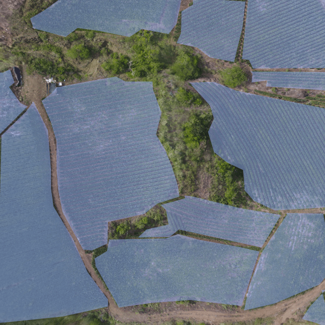
Field boundaries
Import or draw field boundaries to focus your analysis only on areas of interest.

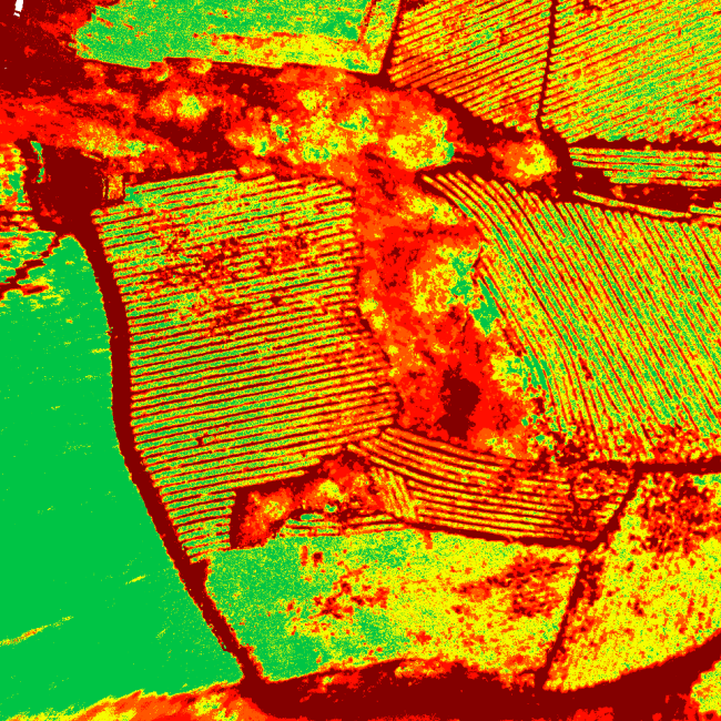
Vegetation index map
Its function is to enhance vegetation based on its spectral response and attenuate the details of other elements such as soil, lighting, water, etc. These are images calculated from algebraic operations between different spectral bands.
